
Understanding a Layered City
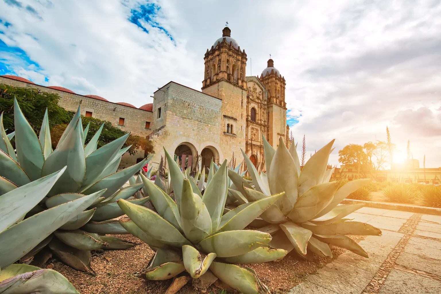
Mexico City is often described as overwhelming—a metropolis of more than 21 million people, where ancient ruins, colonial palaces, and modern high-rises coexist in a single, sprawling urban landscape. For travelers, the city’s neighborhoods can appear as a confusing mosaic, each with its own rhythm, architecture, and identity. Yet these differences are not accidental. They are the result of centuries of historical layering, deliberate planning, and social transformation. To understand Mexico City’s neighborhoods is to read the city as a living document, shaped by Indigenous foundations, colonial impositions, and modern reinventions.
- Understanding a Layered City
- The Aztec Foundation: Tenochtitlan and the Logic of Water
- Colonial Imposition: The Spanish Grid and Segregation
- The City of Palaces: Urban Growth and Social Stratification
- 20th-Century Modernization: Migration, Housing, and Urban Challenges
- Geography and Urban Form: The Valley of Mexico
- Neighborhoods as Living Documents: Interpreting the Present
- Business Insights: Tourism, Heritage, and Urban Renewal
- How to Interpret What You See: Approaching Mexico City with Context
- Further Exploration
The Aztec Foundation: Tenochtitlan and the Logic of Water
The story of Mexico City begins long before the arrival of the Spanish, with the founding of Tenochtitlan by the Mexica people around 1325 CE. Built on an island in Lake Texcoco, Tenochtitlan was a city defined by water, canals, and causeways. Its neighborhoods, or calpullis, were organized around kinship and occupation, each with its own temple and marketplace. The city’s grid was both practical and symbolic, reflecting cosmological beliefs and the need to manage water in a lacustrine environment.
When the Spanish arrived in 1519, they encountered a city of monumental temples, ceremonial plazas, and a population estimated at over 100,000. The destruction of Tenochtitlan in 1521 marked not only a violent rupture but also the beginning of a new urban order.
Colonial Imposition: The Spanish Grid and Segregation
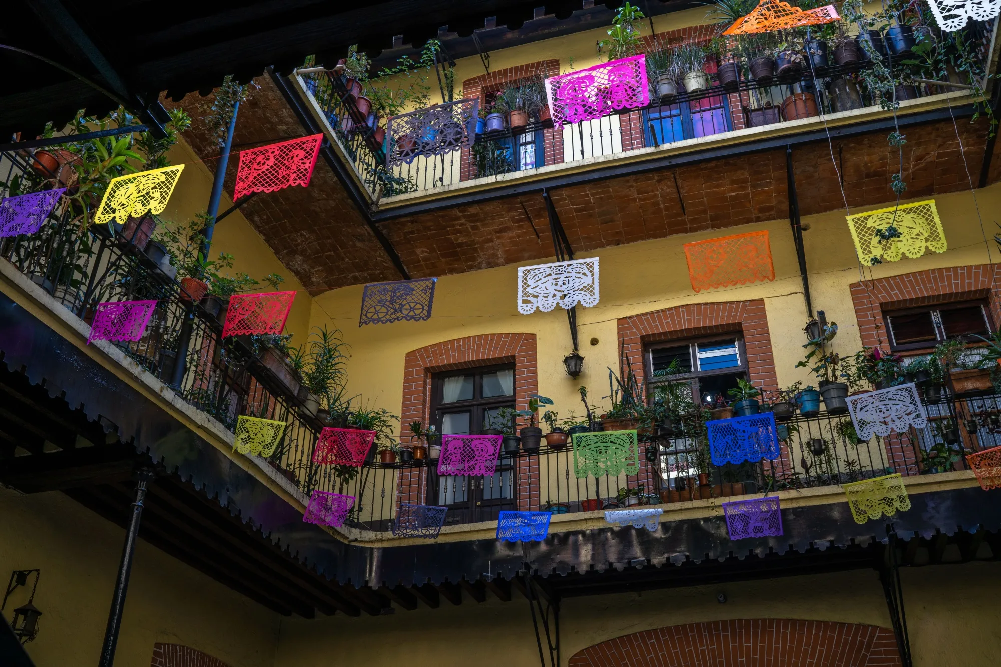
After the conquest, Hernán Cortés and his successors rebuilt the city atop the ruins of Tenochtitlan, imposing a Spanish grid (traza) over the Indigenous layout. The new city was centered on the Plaza Mayor—now the Zócalo—where the Metropolitan Cathedral and National Palace still stand. This area became the seat of colonial power, religion, and commerce.
Colonial authorities implemented policies of segregation, dividing the city into Spanish and Indigenous quarters. As recent research notes:
Colonial segregation policies in Mexico City entrenched divisions between Spaniards and indigenous communities, shaping modern economic inequalities because of weak property rights, unequal provision of public goods and enduring social stigma.
Luis Baldomero-Quintana et al., VoxDev (2024)
Indigenous communities were relocated to pueblos de indios, often on the city’s periphery, while Spanish elites occupied the central traza. Over time, these boundaries blurred, but the legacy of spatial segregation remains visible in the city’s social and economic geography.
The City of Palaces: Urban Growth and Social Stratification
By the 18th century, Mexico City had earned the nickname City of Palaces, a reference to the concentration of grand mansions and civic buildings in the historic center. The city expanded outward, absorbing Indigenous pueblos and rural estates. Neighborhoods such as Coyoacán, Tacuba, and Azcapotzalco, once separate towns, became part of the urban fabric.
The 19th century brought further transformation. Following independence in 1821, the city experienced waves of migration, infrastructural modernization, and the rise of new social classes. The construction of boulevards, parks, and public buildings reflected European influences and aspirations toward modernity.
20th-Century Modernization: Migration, Housing, and Urban Challenges
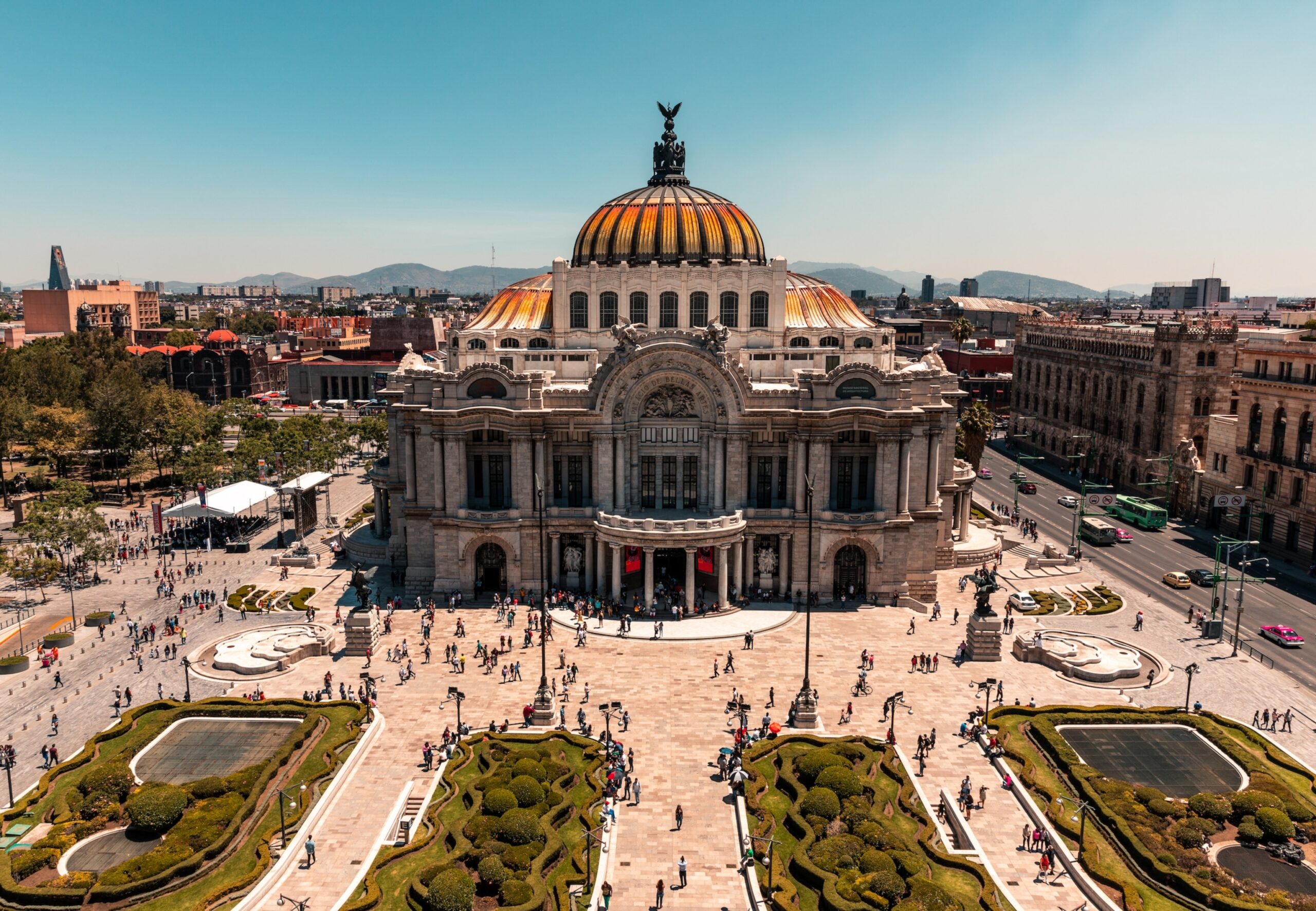
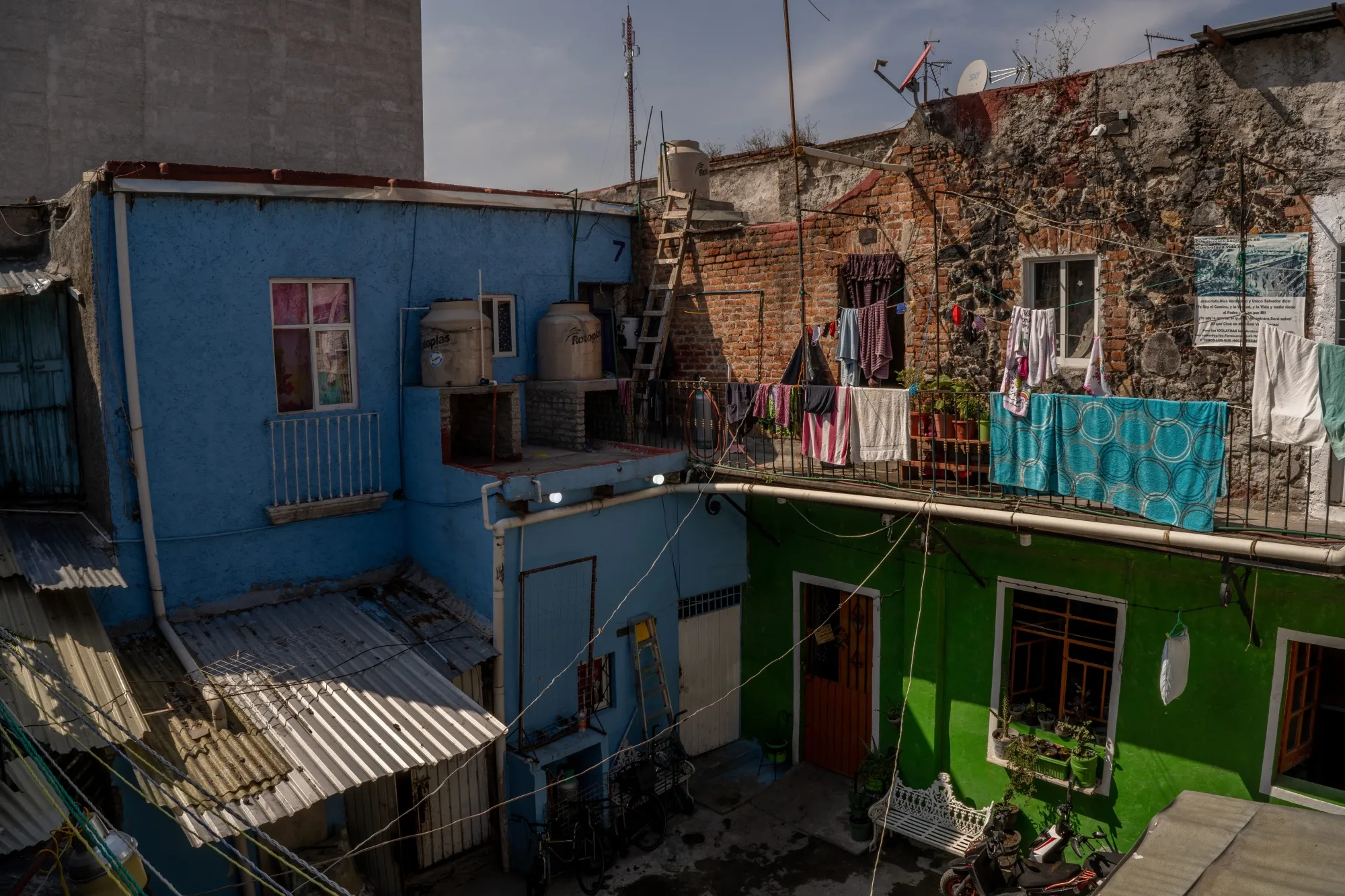
The 20th century was marked by explosive population growth, rural-to-urban migration, and the emergence of new forms of housing. Informal settlements, known as colonias populares, proliferated on the city’s outskirts, while working-class residents found homes in vecindades—communal courtyard buildings that became iconic features of urban life.
A feature from Bloomberg CityLab explains:
The grandiose buildings were originally inhabited by European aristocracy, but their central courtyards later turned into spaces for communal living.
Natalie Delgadillo, Bloomberg CityLab (2022)
Modernist housing projects, such as Unidad Independencia, reflected state-led efforts to address housing shortages and promote social integration. Yet, as the city expanded, challenges of congestion, pollution, and inequality intensified.
Geography and Urban Form: The Valley of Mexico
Mexico City’s geography has always shaped its development. Built in a high-altitude basin surrounded by mountains and volcanoes, the city’s expansion has been constrained by natural barriers and the legacy of its lakebed foundation. The draining of lakes and rivers to accommodate urban growth has created both opportunities and vulnerabilities, including subsidence and water scarcity.
As Harvard’s Jose Castillo observes:
Geography has been destiny… Hundreds of years ago, Mexico City was a soggy maze of 45 rivers and five lakes atop an ancient volcano. The lakes mostly have been filled in, and the rivers have been covered by roadways. But subsoils still wiggle like Jell-O when an earthquake hits.
Jose Castillo, Harvard Gazette (2015)
Neighborhoods as Living Documents: Interpreting the Present
Today, Mexico City’s neighborhoods reflect this complex history. The historic center preserves colonial and pre-Hispanic layers, while districts like Roma and Condesa showcase early 20th-century urbanism and contemporary revitalization. Former pueblos, such as Coyoacán and Xochimilco, retain distinct identities rooted in Indigenous and rural traditions.
Economic and social contrasts remain stark. Polanco and Lomas de Chapultepec are symbols of affluence, while Iztapalapa and Ecatepec face persistent challenges of poverty and infrastructure. Yet, across the city, local markets, plazas, and festivals sustain a sense of community and continuity.
Business Insights: Tourism, Heritage, and Urban Renewal
Mexico City’s layered neighborhoods are central to its appeal as a tourism destination. The city’s UNESCO-listed historic center, the canals of Xochimilco, and the artistic enclaves of Roma and Coyoacán attract millions of visitors each year. Heritage preservation and urban renewal projects—often led by public-private partnerships—have revitalized key areas, boosting local economies and fostering cultural pride.
At the same time, the tourism industry faces challenges of gentrification, displacement, and the need for inclusive development. Successful initiatives balance economic growth with respect for local identity and historical continuity.
How to Interpret What You See: Approaching Mexico City with Context
For travelers, understanding Mexico City’s neighborhoods requires more than a checklist of attractions. It means recognizing the historical forces that shaped each district, the social dynamics that sustain them, and the ongoing negotiations between past and present.
When walking through the city, notice how street names, building styles, and public spaces reflect layers of conquest, migration, and adaptation. Ask how a neighborhood’s layout relates to its origins—whether as an Indigenous pueblo, a colonial enclave, or a modernist experiment. Pay attention to the rhythms of daily life, from markets and festivals to the informal economies that animate the streets.
Further Exploration
For readers seeking deeper context, the following resources provide valuable insights into Mexico City’s history and neighborhoods:
- A Design History of Mexico City’s Vecindades (YouTube)
- How Vecindades Design Shaped Mexico City Life, History (Bloomberg CityLab)
- Colonial segregation in Mexico City (VoxDev)
- Historic Centre of Mexico City and Xochimilco (UNESCO)
- Mexico City: History of the Present (Places Journal)
- The makeover of Mexico City (Harvard Gazette)
- History of Mexico City – Aztec, Colonial, Modern (Britannica)
Mexico City’s neighborhoods are not simply zones on a map—they are the product of centuries of adaptation, negotiation, and resilience. To travel through them with understanding is to engage with the city’s living history, to see beyond surface impressions, and to appreciate the enduring interplay of geography, culture, and power. In doing so, travelers become not just visitors, but attentive readers of a city that continues to reinvent itself, one neighborhood at a time.